

01
Public transport
Metro Bilbao · Euskotren · Renfe · Bilbobus · Bizkaibus · dbus · TUVISA · Lurraldebus
Timetables · several times a yearemap connects transport, routes and local data in one open experience. Born in the Basque Country and designed to adapt to any territory, with no accounts or trackers.
ONE EXPERIENCE
Explore on the web, continue on mobile and let emap stay with you during the journey.
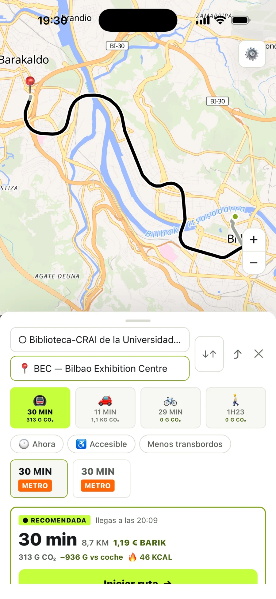
Public transport, car, bike and walking with alternatives, cost, emissions and preferences.
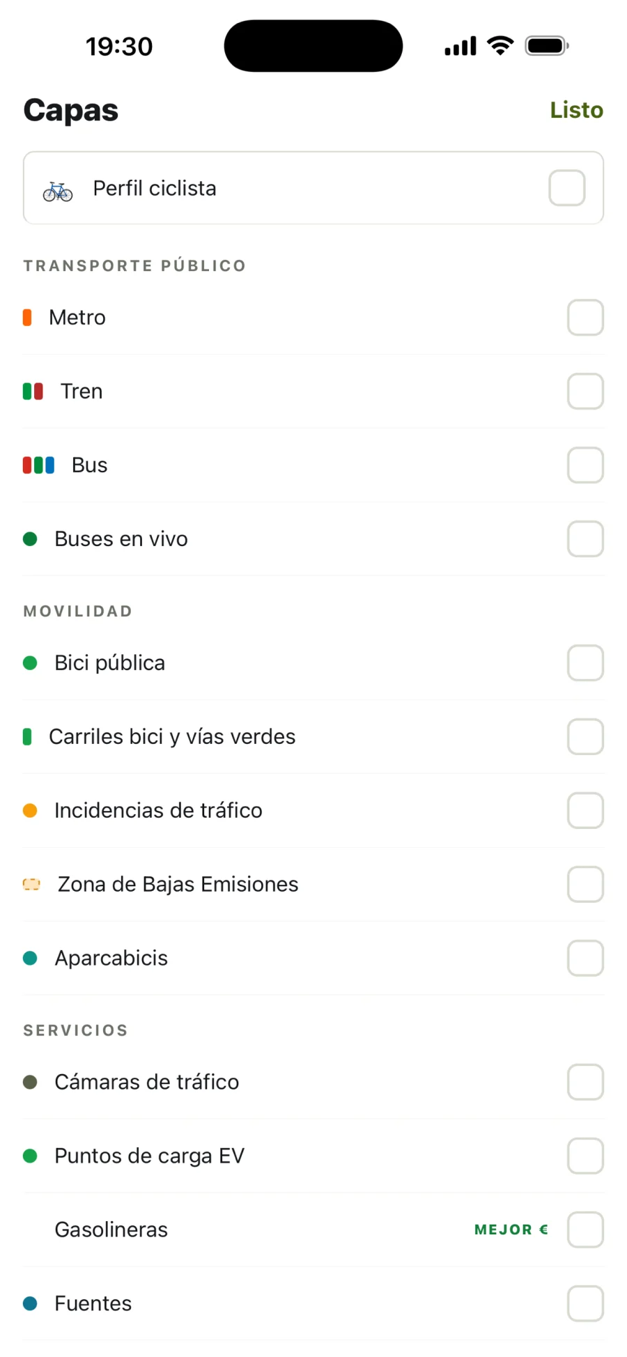
Arrivals, vehicles, traffic, bikes and services live whenever the official source publishes them.
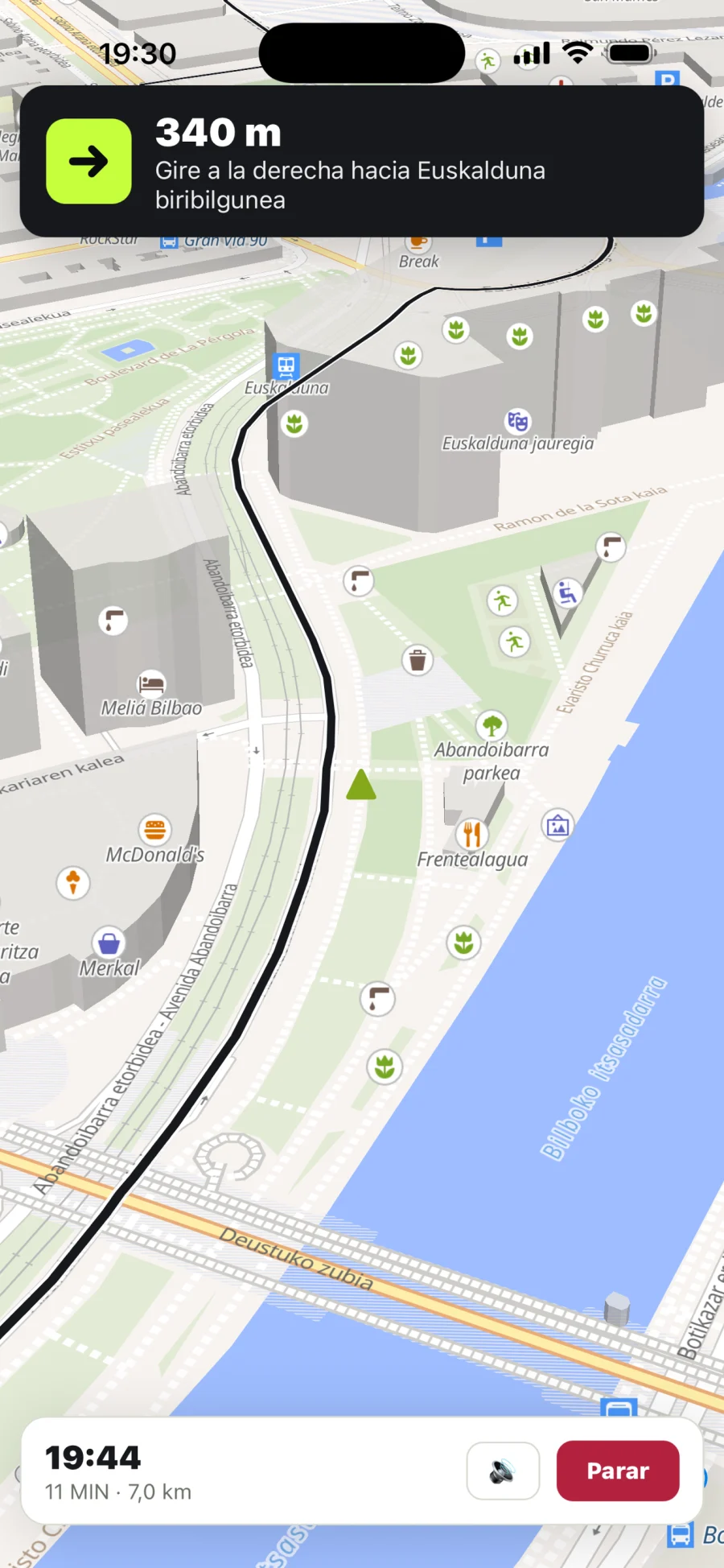
Turn by turn, voice, stop alerts, Live Activity on iOS and background activity.
Fountains, toilets, AEDs, bike parking, beaches, peaks and more, measured from your GPS.
PRODUCT WALKTHROUGH
An automatic walkthrough of real app screens. Pause it and explore each moment.
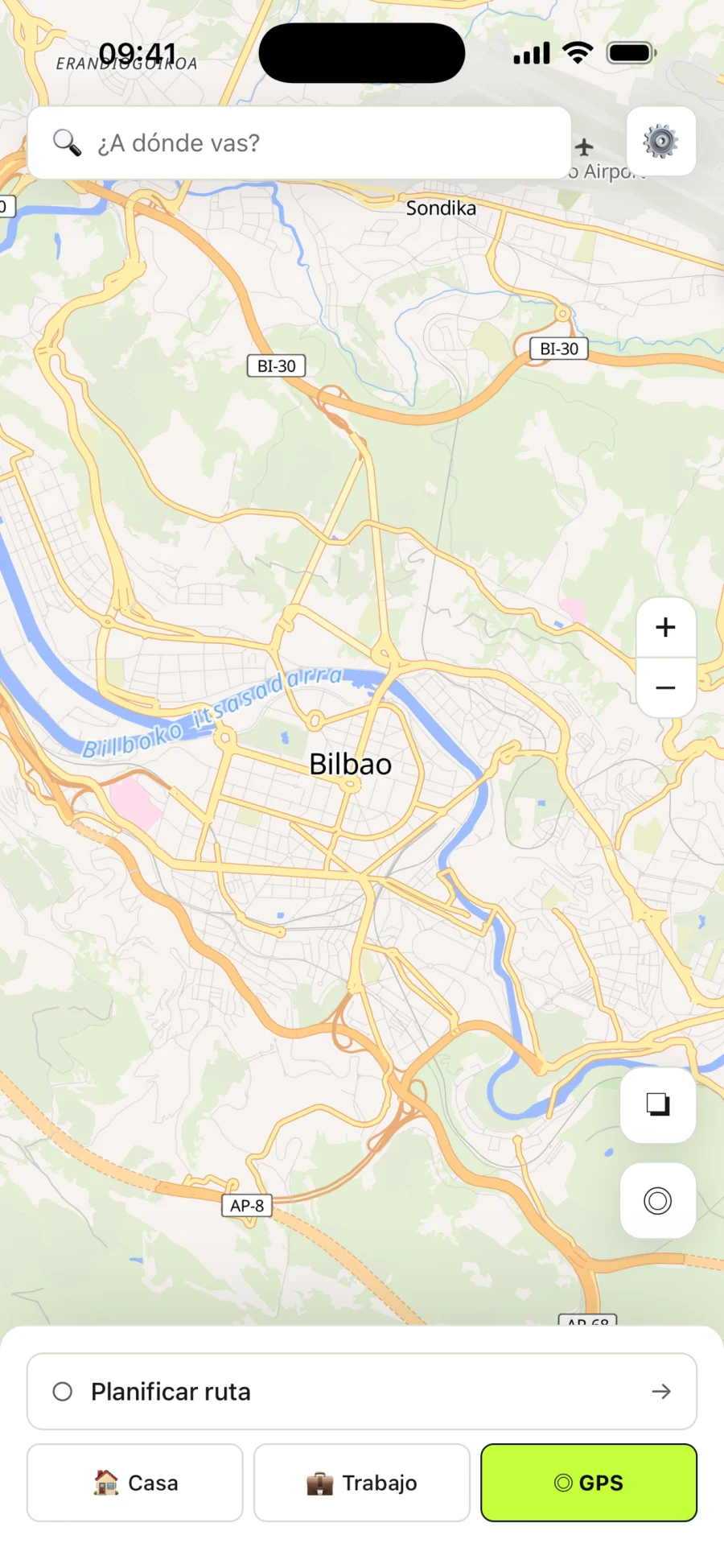
Home
Search for a destination or discover useful services around you.
WEB + APP
Web and mobile use the same API. Planning big and navigating small should not produce different answers.
Explore emap on the web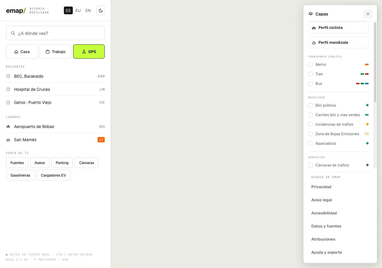
OPEN DATA, REAL TRACEABILITY
emap combines official and open sources. We publish what each one provides, its licence and how often it is updated.
Metro Bilbao · Euskotren · Renfe · Bilbobus · Bizkaibus · dbus · TUVISA · Lurraldebus
Timetables · several times a yearCTB · Moveuskadi · Basque Government · DFB · BilboMad
Updates · 15 s–15 minOpenStreetMap · OpenFreeMap · CARTO · Photon · Nominatim · OSRM · OpenTripPlanner
Continuous, weekly or on demandMITECO · Open Charge Map · REVE network · Open-Meteo
30 min, daily or on demandThe weekly process registers every package with a date and checksum. If a source fails, we show the last valid value and its date or say that no data is available: we never invent it.
ACCESSIBILITY
Accessibility is part of the product: contrast, keyboard support, visible focus, screen readers, touch targets and reduced motion.
EMAP / LABS
Versioned datasets, bilingual geographic search and reproducible evaluations. When the system cannot verify an answer, it abstains.
Published limits: the corpus is still synthetic, OSM coverage is uneven and the reranker awaits full evaluation.
MCP FOR AGENTS
Five tools connect compatible assistants to places, nearby services, routes and hikes. Responses preserve sources, distances and limits.
search_placesnearby_poisexplain_placeplan_routeplan_hike{ lat: 43.263, lon: -2.935 }MOBILITY GUIDES
Local guides with sources, dates and authors. An editorial foundation for real searches, without empty content.
View all guidesPlan the outward trip, access to the peak and a verifiable return by train or bus instead of assuming the nearest stop is enough.
What sits behind a journey planner: GTFS schedules, real-time feeds, OpenStreetMap, validation, licences and attribution.
A practical guide to combining metro, Euskotren, commuter rail and buses between Bilbao, San Sebastián, Vitoria-Gasteiz and beyond.
EMAP · OPEN MOBILITY
It covers the Basque Country today and is ready to grow city by city, territory by territory.